
FireWatch: World Updates
A wildfire is an uncontrolled burn of plant life, including the burning of savannas and forests, grasslands, shrublands, and croplands. Wildfires sometimes are caused by human activity like unattended fires and the loss of control of planned burns, but also by natural causes, such as lightning.
The proliferation of wildfires is determined by a range of elements, such as the amount and types of dry vegetation in the surrounding area, wind direction and speed, moisture levels, and heat. The amount of area burned by wildfires and the impacts on ecosystems, is driven by a combination of weather patterns, human activity, the management of plant life and landscapes, and responses to suppress their spread.
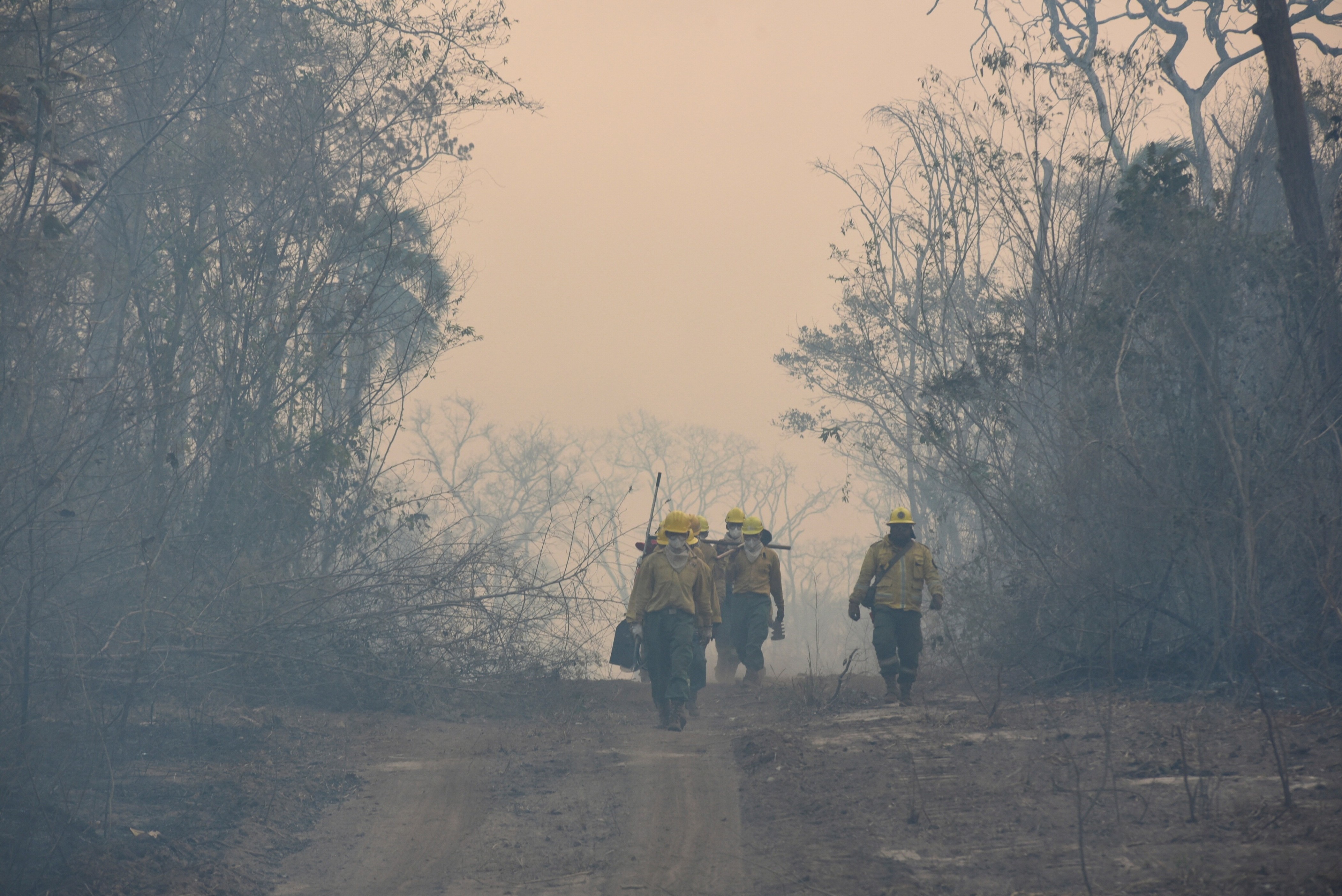
Everyone is affected by wildfires both directly and indirectly. In recent years, several people have died directly from the wildfires. Also, more than ten thousand people have been evacuated, or in some cases, permanently displaced from their homes. Wildfires also emit pollution and carbon dioxide and damages our health.
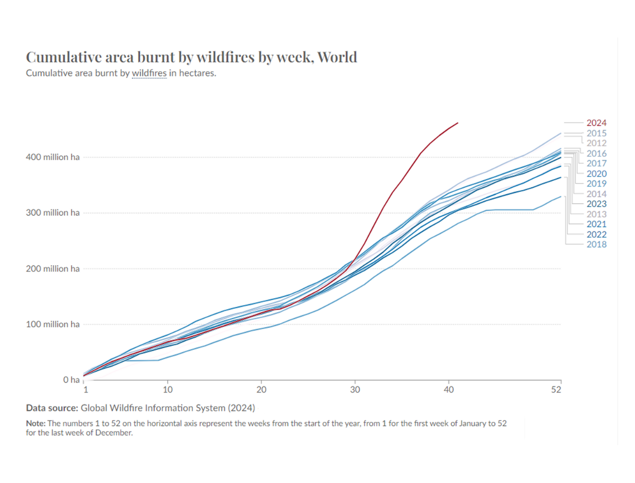
To track the sequence of wildfires over the years and understand historical trends in these fires, scientists have used satellite imagery obtained from MODIS (Moderate Resolution Imaging Spectroradiometer) and VIIRS (Visible Infrared Imaging Radiometer Suite), the NASA and UN´s space program working together in a joint initiative.